 |
| Lake Bled From: https://www.lonelyplanet.com/a/slovenia/lake-bled/pois/sights/490156/places/360712 |
 |
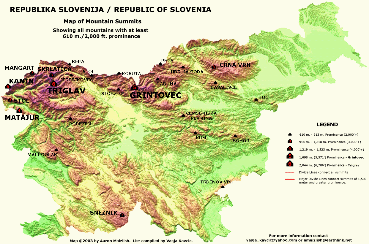
| Map of Peak Elevations From: http://viewfinderpanoramas.org/prominence.html |
 |
| Mount Triglav (Slovenia's Highest Peak) From: http://www.traininginparadise.eu/wp-content/uploads/Mount-Triglav-the-North-wall-foto-Dan-Bri%C5%A1ki.jpg |
The size of the Mount Triglav (just northwest of Lake Bled) is due to the convergence of the the African plate into the Eurasian plate, which took place 34 to 23 million years ago [4]. Although the formation of the Alps was a very ancient process as far as geological time is concerned, tectonic shifting between these two plates still affects the region today. For instance, there have been 25,000 earthquakes recorded in the last 10 years in Slovenia, and the country is considered "moderately vulnerable." Of the 25,000 recorded, about sixty have been dubbed "devastating" [5]. The map below details the different intensities of seismic activity affecting the country. Notice that blue colored area in the northeast (not the one on the border, but the one further inland) is almost directly over the Lake Bled area, making Bled very vulnerable to seismic activity. This makes a lot of sense, given that the region is set within the tectonic basin created by the convergence boundary between the African and Eurasian plates.
[1] https://lakebledslovenia.com/
[2] http://www.slovenia.info/?jezero=190
[2] http://www.slovenia.info/?jezero=190
[4] http://quatr.us/geology/platetectonics/alps.htm
Other Sources Referenced http://www.blejski-grad.si/en/permanent-exhibition-by-national-museum

No comments:
Post a Comment